
Climbing Mount Ngauruhoe: The Ultimate Volcano Trekking Guide to New Zealand’s Iconic Mount Doom
Mount Ngauruhoe, New Zealand’s most active stratovolcano and famed as Mount Doom in The Lord of the Rings, offers a demanding yet unforgettable volcanic ascent. This guide covers its geology, trekking routes, safety tips, cultural significance, and practical advice for adventurers seeking a raw encounter with volcanic power on the North Island.
Quick Volcano Snapshot
| Volcano type | Stratovolcano |
|---|---|
| Elevation | 2,291 m (7,516 ft) |
| Location | North Island, New Zealand |
| Activity status | Active |
| Trekking difficulty | Demanding |
| Typical trek duration | 4-6 hours (summit side trip) |
| Altitude gain | Approx. 700 m from South Crater |
| Terrain type | Loose volcanic ash, lava rock, steep slopes |
| Best season | Summer (December to February) |
| Temperature range | -5°C to 20°C (alpine conditions) |
| Permit requirement | No permit required but cultural respect requested |
The Experience of Hiking Mount Ngauruhoe
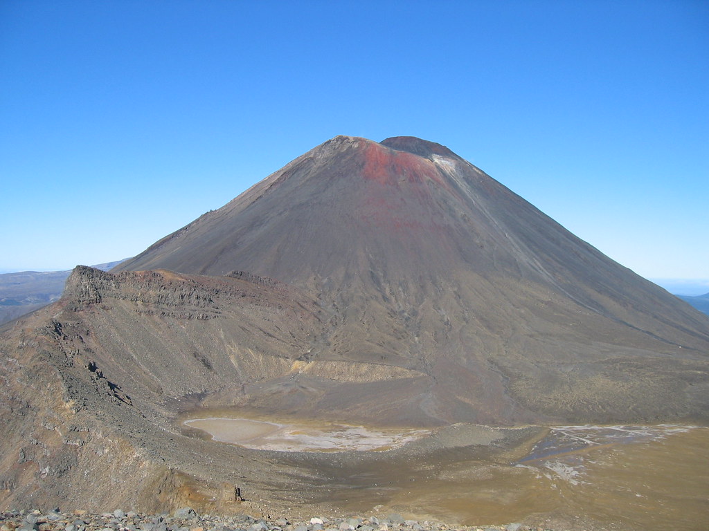
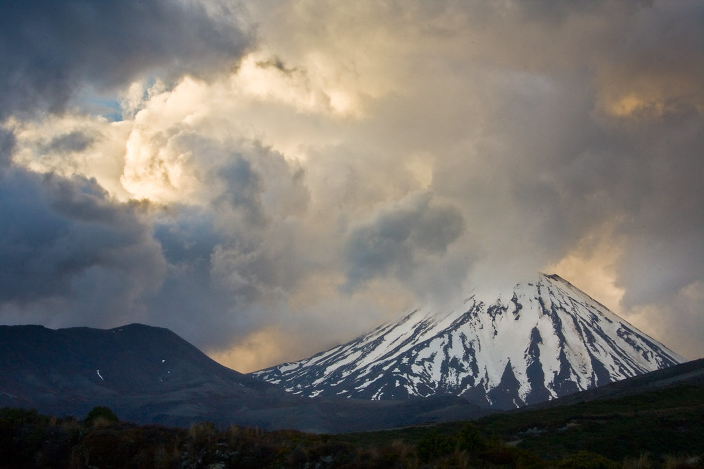
Approaching Mount Ngauruhoe is stepping into a volcanic cathedral of raw earth power. Its perfect conical shape rises sharply against the sky, a stark contrast to the lush forests and emerald lakes nearby. The barren slopes, covered in loose volcanic ash and jagged lava rocks, challenge every step. Reaching the crater rim, the air thick with sulfur and the ground warm beneath your feet, you confront the primal force that shaped this land. The panorama stretches across Tongariro National Park’s rugged volcanic terrain, a reminder of nature’s relentless energy and beauty.
Mount Ngauruhoe: Geological Background
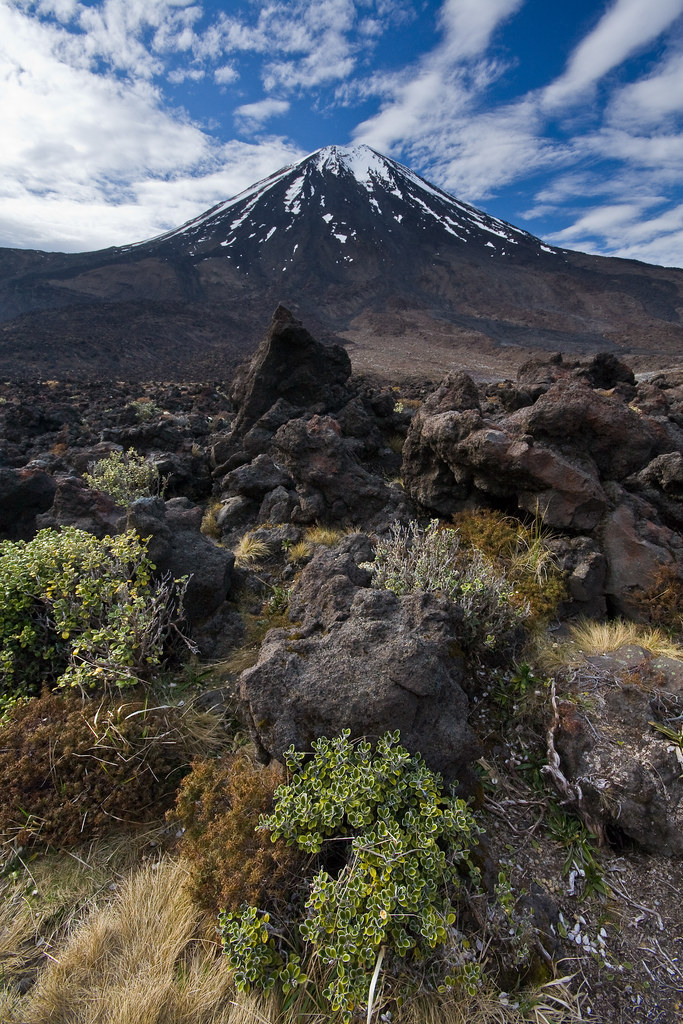
Mount Ngauruhoe is a classic stratovolcano formed from layers of andesite lava and ash, part of the larger Tongariro volcanic complex. It emerged about 2,500 years ago as the youngest vent in this active volcanic zone. Its steep slopes are built from repeated eruptions that have deposited thick lava flows and tephra. The summit crater hosts fumaroles emitting sulfurous gases, evidence of ongoing subterranean heat. The volcano’s activity peaked in the 20th century with 45 eruptions, the last in 1977. Its geology reveals a dynamic system fueled by magma reservoirs about 5 kilometers deep beneath the surface.
Terrain and Hiking Experience on Mount Ngauruhoe
The ascent is a demanding scramble over steep slopes of loose volcanic ash and sharp lava rocks. The trail zigzags up a 45-degree incline, requiring strong legs and careful footing. Wind gusts near the summit can be fierce, and temperature shifts are sudden. Hikers often encounter scree fields where sliding is possible but risky due to sharp stones. The terrain demands full concentration and good balance, with exposure on the crater rim adding to the thrill. Altitude effects are mild but noticeable, enhancing the sense of remoteness and challenge.
What Makes Mount Ngauruhoe Trek Unique
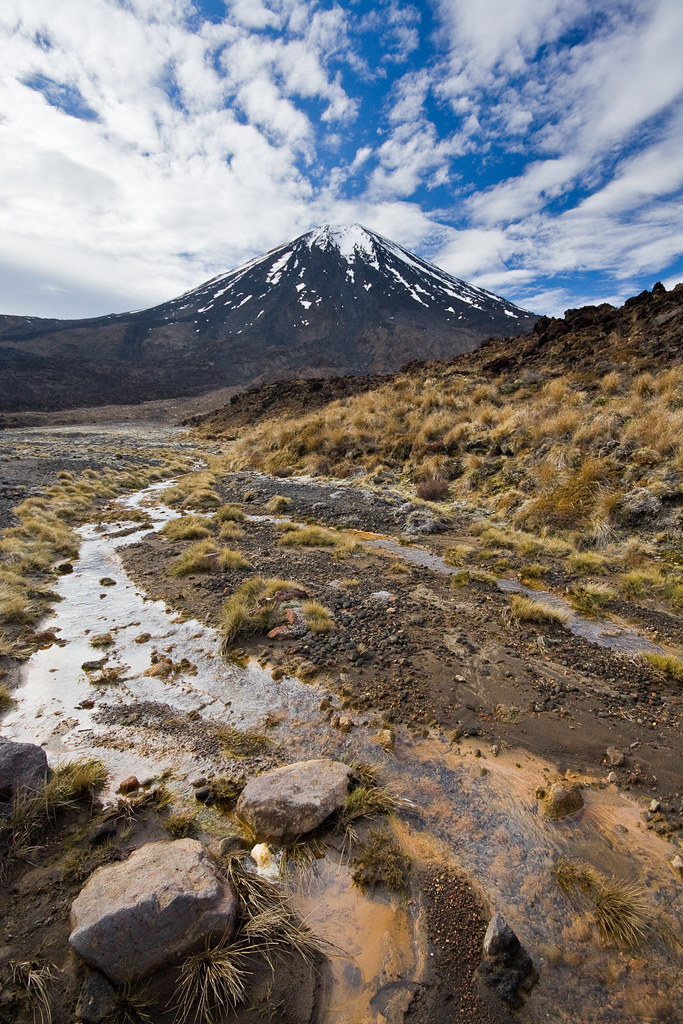
Mount Ngauruhoe’s iconic symmetrical cone is instantly recognizable worldwide, especially as the cinematic Mount Doom. Its cultural significance to the Māori people adds depth beyond the physical climb. The volcano’s active fumaroles and sulfur vents create a sensory experience of heat, smell, and sound unique among New Zealand’s peaks. The stark volcanic desert landscape juxtaposed with nearby emerald lakes and alpine flora offers dramatic contrasts. Few volcano treks combine cinematic fame, cultural reverence, and raw volcanic power as Ngauruhoe does.
Summit and Crater Experience on Mount Ngauruhoe
Reaching the summit crater is a moment of awe and intensity. The rim offers panoramic views of the Tongariro volcanic complex, including Mount Ruapehu and the surrounding Central Plateau. The ground is warm, and sulfurous steam vents hiss nearby, filling the air with a pungent aroma. The crater’s jagged edges and steaming fumaroles remind you of the volcano’s restless nature. The silence is punctuated by the occasional rumble or hiss of escaping gases, a powerful reminder of the earth’s molten heart beneath your feet.
Best Time to Trek Mount Ngauruhoe
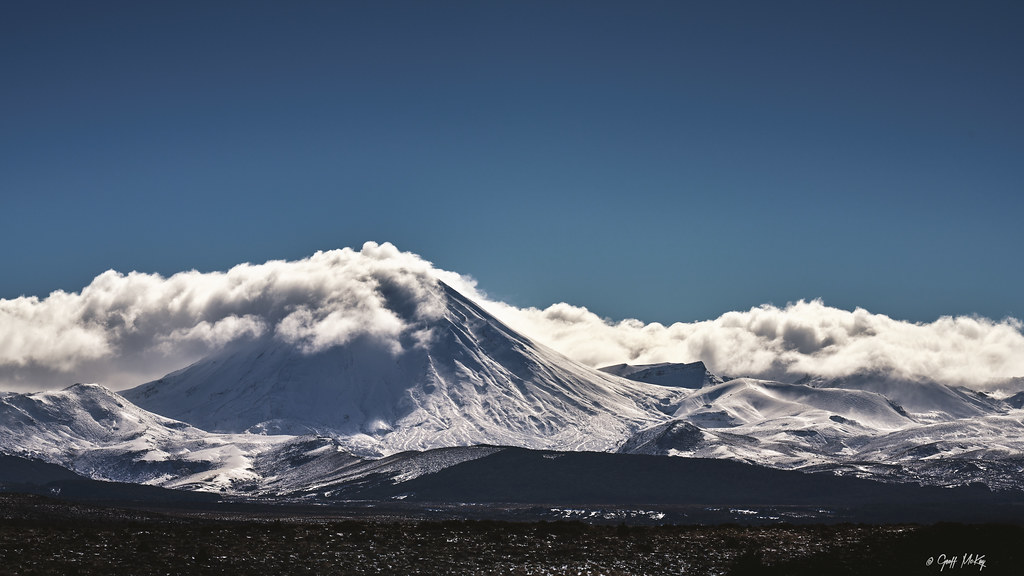
The optimal trekking season is summer, from December to February, when weather is more stable and snow-free. Winter ascents are possible but require technical gear like crampons and ice axes due to snow and ice. Spring and autumn bring unpredictable weather and strong winds. Afternoon sun can warm the slopes, making loose ash slippery, so early starts are recommended. Volcanic activity is monitored continuously, and trekkers should heed alerts and avoid climbing during unrest.
Trekking Routes and Trail Options
The most common route to Mount Ngauruhoe’s summit starts from the South Crater, accessible via the Tongariro Alpine Crossing trailhead at Mangatepopo car park. From the South Crater, the climb to the summit adds approximately 3 kilometers and 700 meters of elevation gain, taking 2-4 hours return. Alternative longer routes include approaches from Waihohonu Hut as part of the Tongariro Northern Circuit, suitable for experienced hikers. Guided tours are available and recommended for safety and cultural insights. Self-guided hikers must plan logistics carefully due to parking limits.
Difficulty Assessment of Mount Ngauruhoe Trek
Mount Ngauruhoe is classified as a demanding volcano ascent. The steep 45-degree slopes of loose volcanic ash and sharp lava rocks require good fitness, sure-footedness, and stamina. No technical climbing skills are needed in summer, but winter conditions demand mountaineering equipment and experience. Altitude is moderate but combined with terrain challenges, the trek is unsuitable for beginners. Preparation and respect for the mountain’s conditions are essential for a safe and rewarding climb.
Essential Volcano Trekking Gear for Mount Ngauruhoe
Key gear includes sturdy hiking boots with excellent grip to handle loose ash and sharp rocks, trekking poles for stability on steep slopes, and volcanic ash gaiters to protect against fine particles. A windproof jacket and layered clothing are vital for alpine weather. A headlamp is recommended for early starts or late finishes. Due to sulfur gases, sensitive hikers may consider a lightweight respirator or mask. Hydration systems and sun protection are critical as the terrain offers little shade. In winter, crampons, ice axes, and helmets become mandatory.
Safety and Volcanic Hazards on Mount Ngauruhoe
Volcanic gases, especially sulfur dioxide, can irritate respiratory systems; hikers with asthma should exercise caution. The steep loose slopes pose risks of falling rocks and slips. Crater edges are unstable and require careful navigation. Sudden weather changes, including high winds and snowstorms, are common. Although the volcano is active, eruptions are infrequent but possible; monitoring by GeoNet provides real-time alerts. Visitors must respect cultural requests to avoid summit climbs and follow Department of Conservation guidelines for safety.
Permits, Guides, and Logistics for Mount Ngauruhoe
No formal permit is required to hike Mount Ngauruhoe, but the local Māori iwi request respect by avoiding summit ascents. The Department of Conservation has removed summit trail markers to discourage climbing. Guided tours provide cultural context, safety, and logistical support and are highly recommended. Parking at Mangatepopo car park has a 4-hour limit, so shuttle services are advisable for summit attempts. Seasonal closures may occur due to volcanic activity or weather. Always check current conditions before planning your trek.
Where to Stay Near Mount Ngauruhoe
Accommodation options include lodges and hostels in Whakapapa Village, the main gateway to Tongariro National Park. Nearby eco camps and local guesthouses in Turangi offer rustic stays closer to trailheads. For multi-day trekkers, huts such as Mangatepopo, Oturere, and Waihohonu provide basic shelter along the Tongariro Northern Circuit. Booking in advance is advised during peak season. Staying near the park allows early starts and easy access to shuttle services for the Alpine Crossing and Ngauruhoe summit routes.